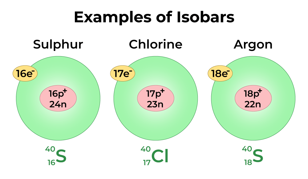
Isobars are lines of equal atmospheric pressure on a weather map. They are represented by curved lines which connect points of equal pressure. Isobars are used to show the pressure systems and fronts, rising and falling air pressure, and the strength and direction of winds in a given area.
